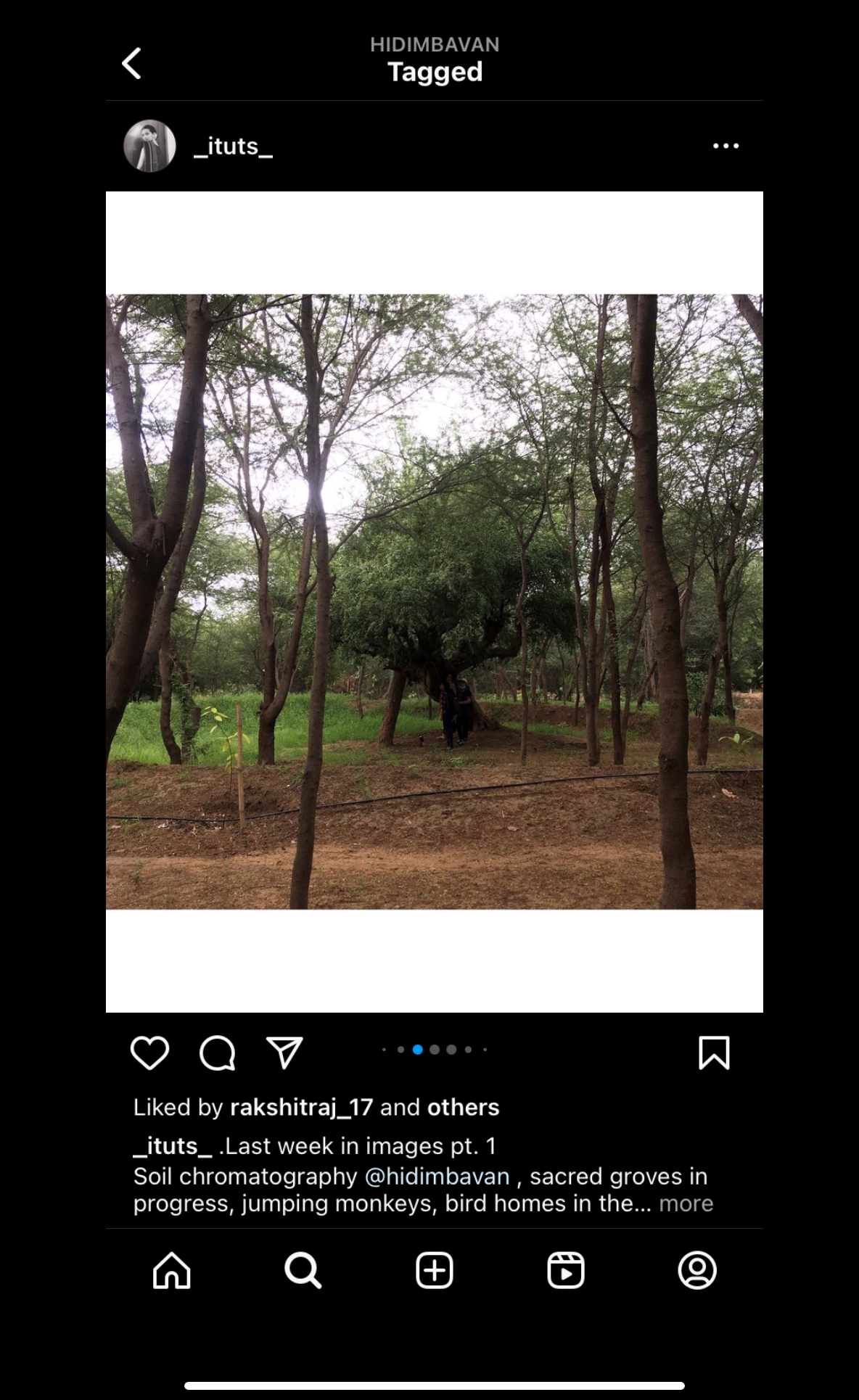
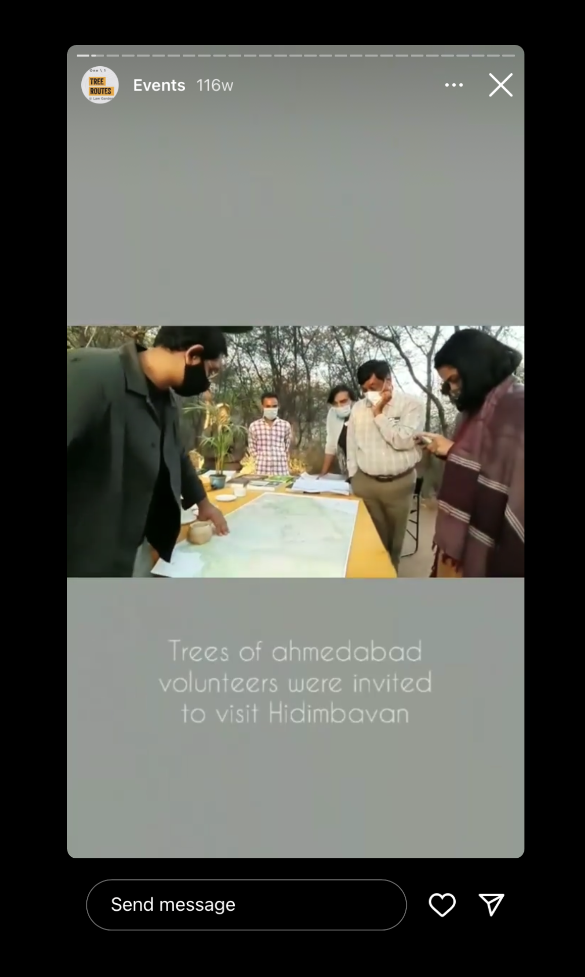
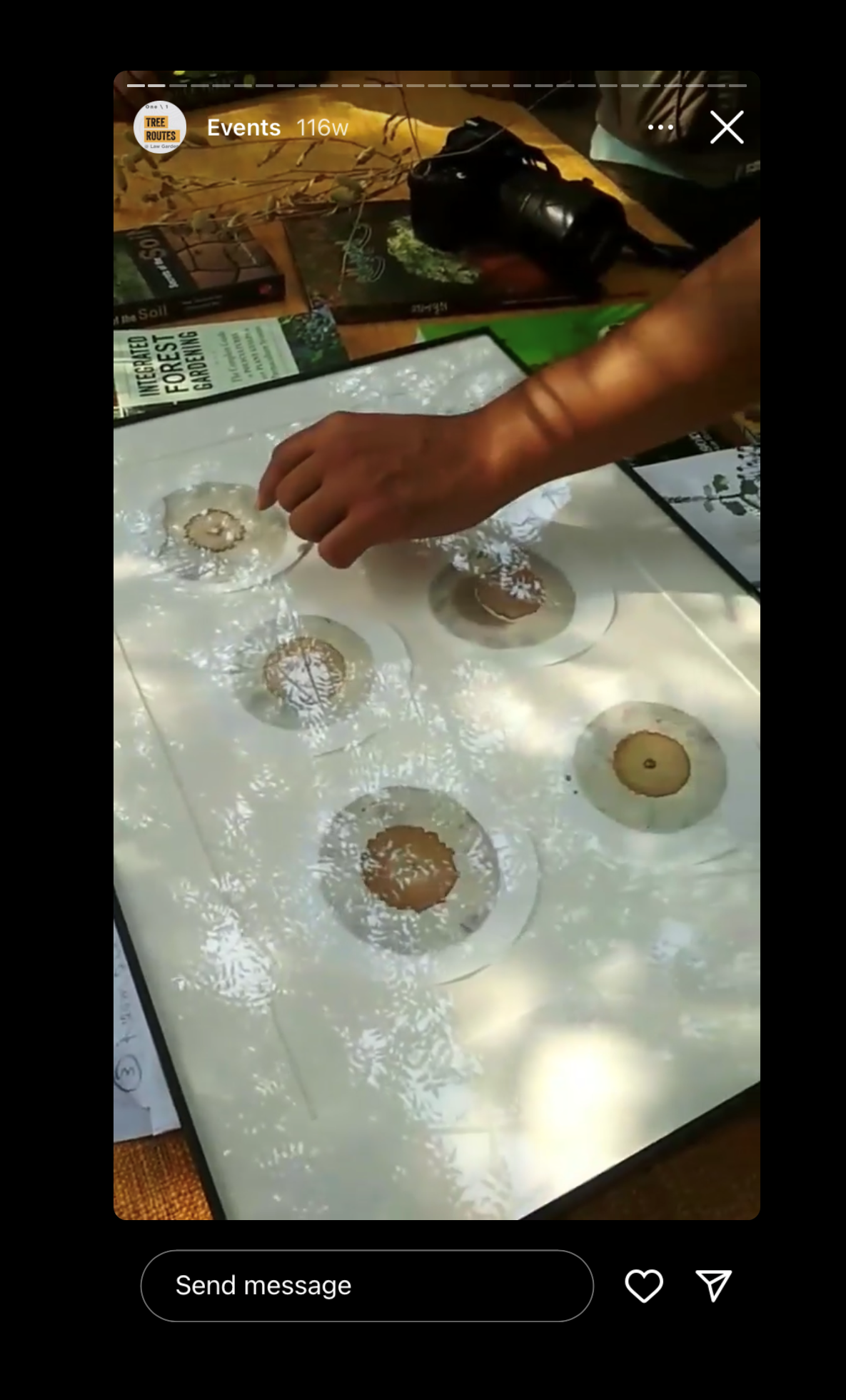
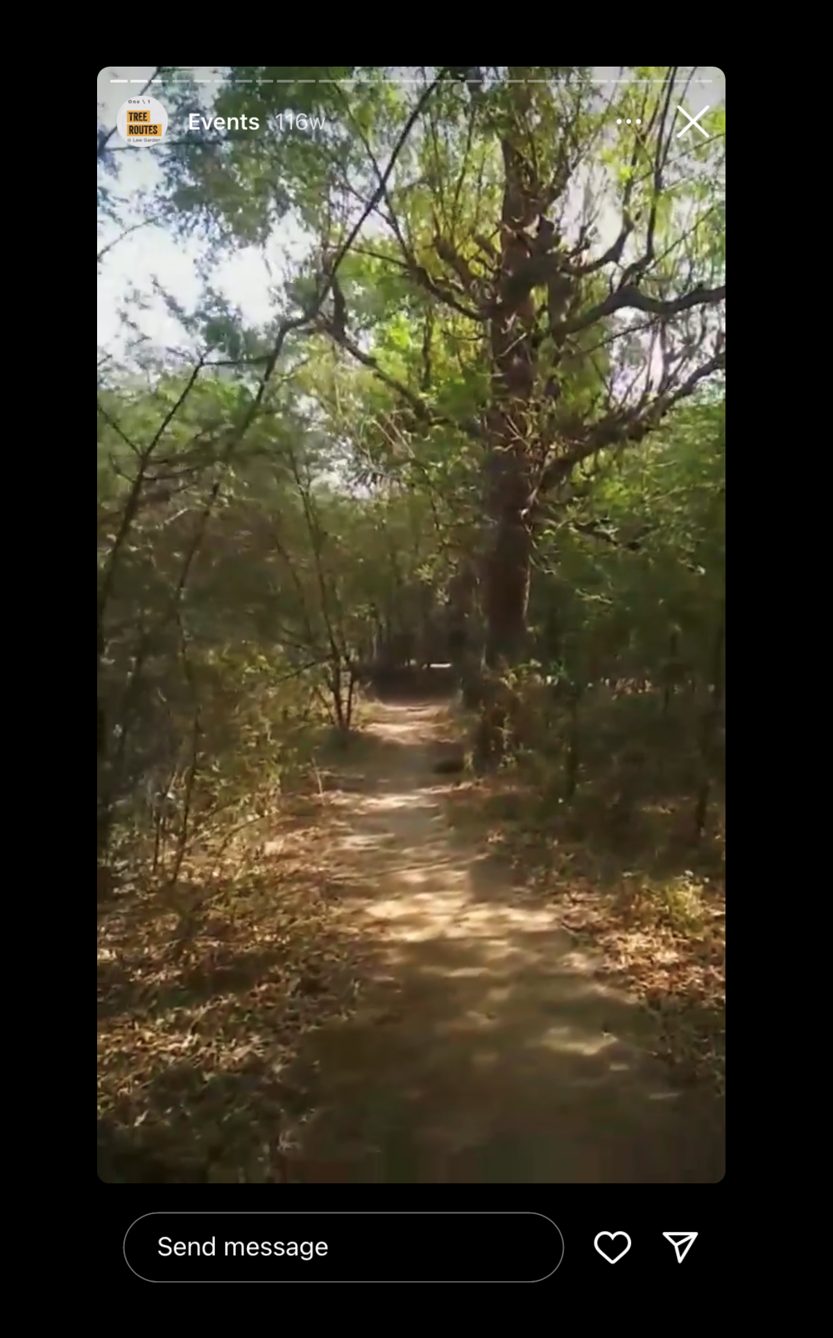
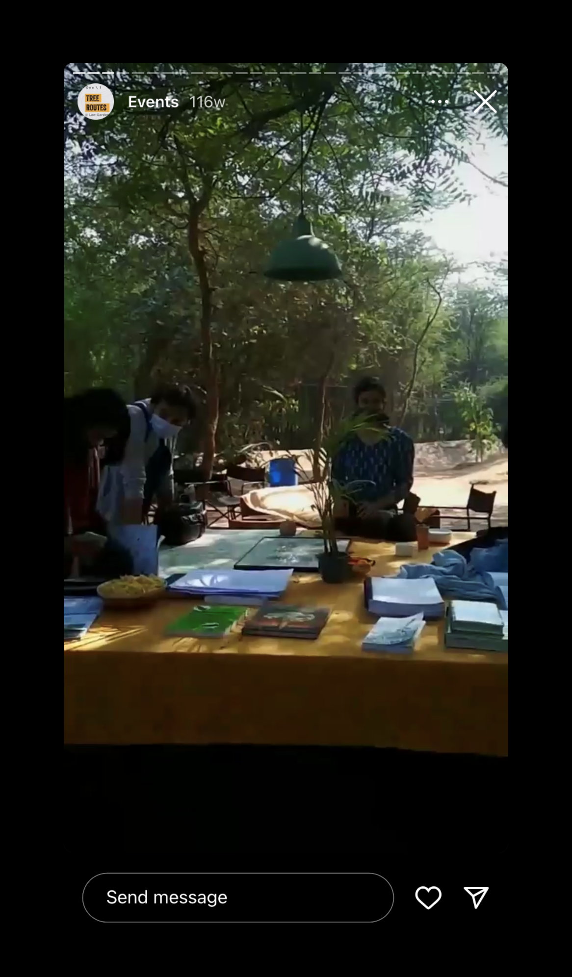
Hidimbavan is the mythological name of the ecology that Ahmedabad and its environs are a part of. Although primeval forests have all but disappeared in this part of the world, we can use this myth to piece together what kind of life inhabited this space before human intervention. Described as the forest lair of the demon king Hidimb, it is a semi arid space, containing thorn scrub type vegetation and dry deciduous forests.
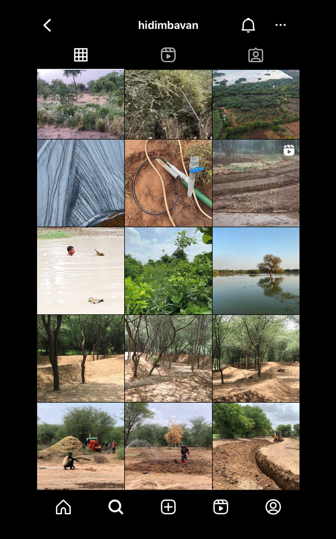
Hidimbavan is a contemporary ecological design laboratory, situated within the eco-sensitive zone of the Thol Lake Sanctuary. It is a semi-arid space containing thorny scrub type vegetation and dry deciduous forests, dominated by Acacia nilotica and Vachellia tortilis trees. The project is driven by land management interventions to capture carbon in productive soils, check erosion, harvest energy and conserve water, and an inquiry into ways of ensuring food security.

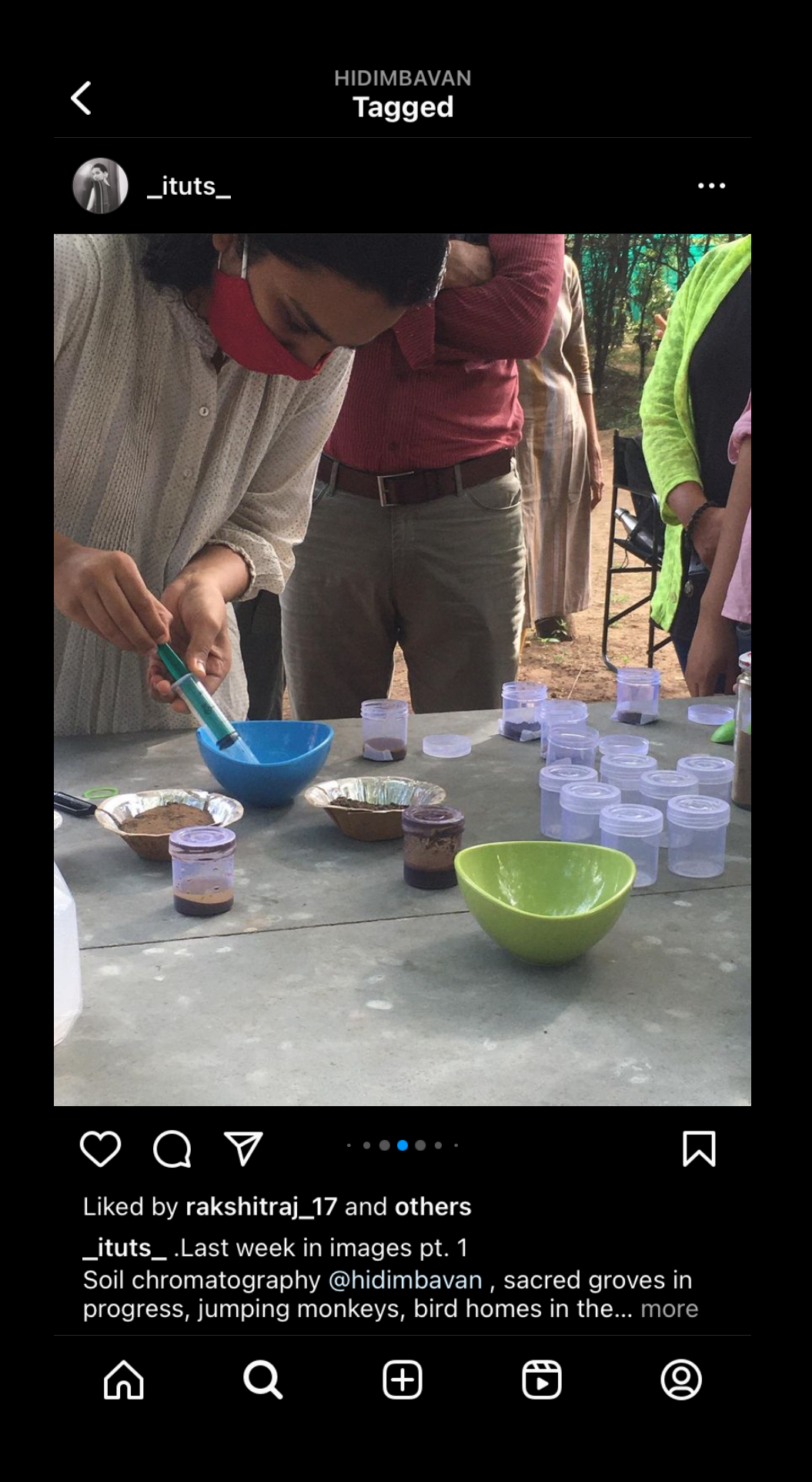
Informed by regenerative principles and ethics of Permaculture, the project aims to plug into the Sanctuary and work with the Forest department in order to inform land management and restoration practices and focus on deeper forms of climatic adaptation and resilience. Through a series of on-going experiments, the project is transforming the ground into a Biological Repository, an edible and medicinal forest, a Living Archive and a micro climatic centre of research, that serves as a test bed and experimental ground to plan more effectively for the wider ecosystems of Thol.
The project will be driven through an urgent need to redefine land use, inquire into ways of ensuring food security, and focus on deeper forms of climatic adaptation and resilience to the slow violence of ecological degradation. Through interpreting the ecological implications of our design agency as an inherently political act, the laboratory might interact with local and non local institutions, bringing in diverse vectors of knowledge, serving as a stronghold for decentralised territorial planning, the production / dissemination of knowledge, and research. The project will be designed to serve as a model, using remote sensing technologies, data driven ecology, building capacity, working towards heightened ecological awareness, and through engaging with the local population. These vital operations may well carve out new potential pathways to rewild cities, boost ecological functioning, sequester carbon in productive soils, harvest energy, conserve water and establish a renewed symbiosis between the urban and rural.
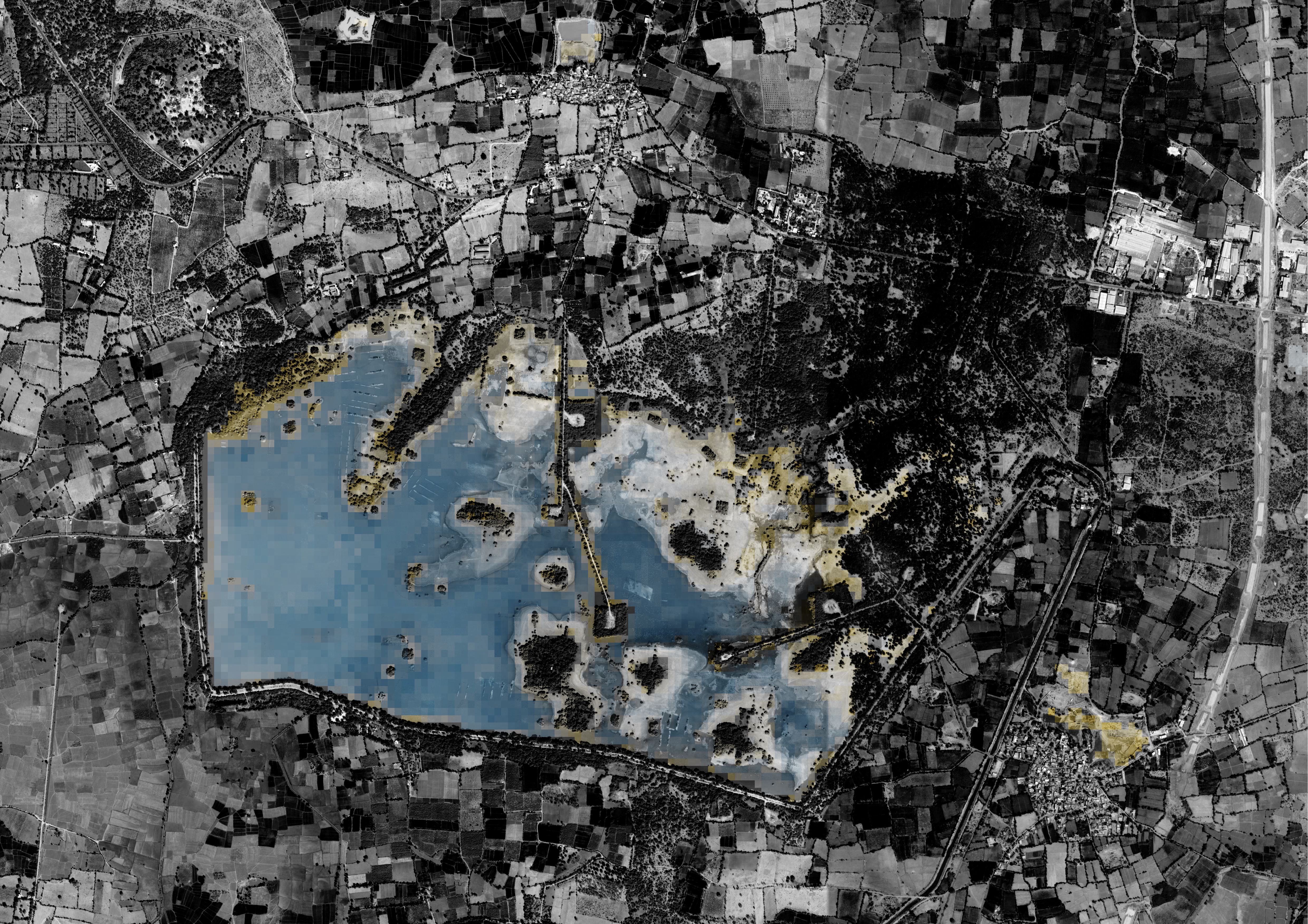
The Multi-Temporal Remote Sensing Image of the Thol Wetland is produced using 36 years of Landsat data (1 image every 14 days) that is processed using Google Earth Engine. The image is produced by calculating and compositing the NDWI (Normalised Difference Water Index) of over 8100 individual images to detect Occurence and Change of surface water.
