Planning Proposal - Watersensitive Makarba
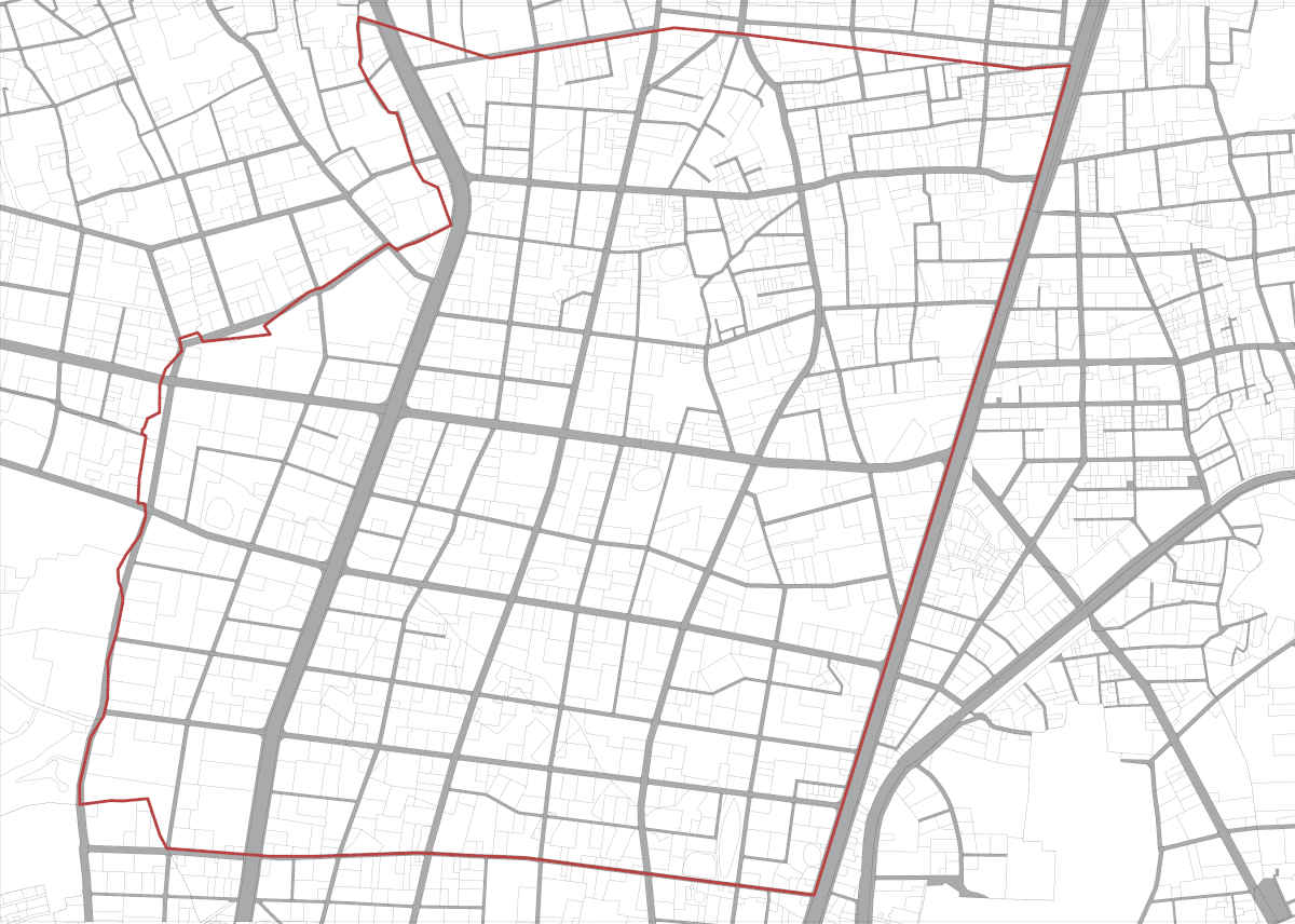
Makarba, Ahmedabad
Makarba area in Ahmedabad has a natural topography that is higher in the north and gradually slopes downward toward the south. Its natural drainage system comprises a network of large and small water bodies that function as basins, collecting rainwater during the monsoon and overflowing into one another as the water moves south. However, the planning process has overlooked the natural topography, disrupting major water flow patterns and causing water logging in downstream areas. This is further aggravated by the malfunctioning of sewage systems where the topography causes the network to overflow and also mix with surface water.
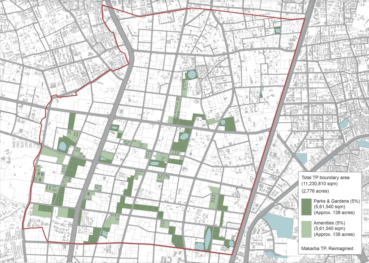
A reimagined Town Planning Scheme here, strategically allocates space for parks and public amenities along the major order stream flows whilst maintaining the existing road network, and the natural lake network, a new master plan for a TP scheme can be made with a Blue Green Infrastructure network, that integrates parks, gardens and public amenities, and creates more space can for water movement. This can reduce the heavy and expensive infrastructure, whilst reducing flood risk, creating a more livable, green, and resilient neighborhood.
Instead of treating water as an afterthought, public spaces—parks, detention ponds, green corridors and even public amenities —could be designed to connect existing lakes, carving out continuous ecological pathways.